 CHINA 5A TRAVEL
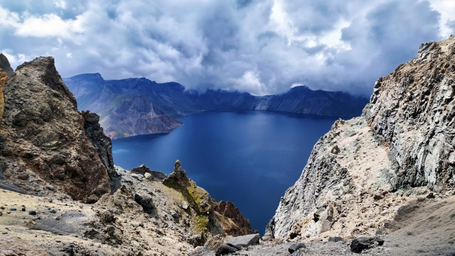
Changbai Mountain rises in Antu County, Yanbian Korean Autonomous Prefecture, with three gates — North (Erdaobaihe), West (Chixi) and South.
Interactive Map
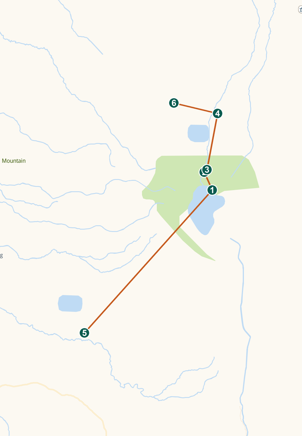
Live Amap view — drag to pan, scroll or pinch to zoom. Tap a numbered pin for details.
By Air
Changbaishan Airport serves major cities; transfers run to both North and West gate towns in about an hour.
By High-Speed Rail
The Shenbai HSR, opened September 2025, brings Beijing to Changbaishan in about 4.5 hours, second class from ¥321.
By Train
Other rail services reach Dunhua or Antu/Baihe stations, with road transfers to Erdaobaihe (the North base town).
By Car
Approach roads serve the visitor centres, but private vehicles are restricted beyond them — park and ride the area shuttles.
Between Slopes
North (Erdaobaihe) and West (Chixi) dispersal centres lie about 100 km apart — choose one slope per day.
Getting Around
The mandatory area buses loop each slope's sights; the summit road on the North uses dedicated jeeps. Walking comes at the viewpoints, waterfall boardwalks and West Slope stairway.
Also in Amap (Chinese app) · map tiles and data © Amap
Comments