 CHINA 5A TRAVEL
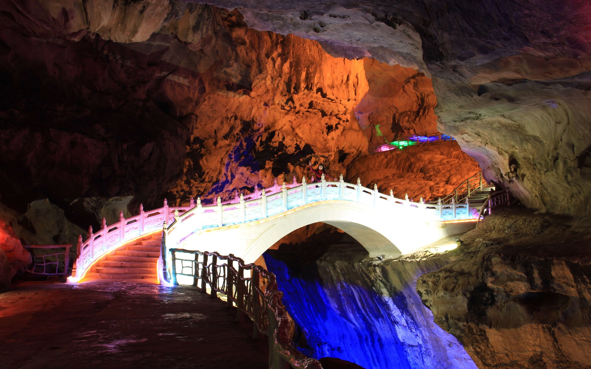
The cave hides 26 km northeast of Lianzhou old town in the mountains where Guangdong meets Hunan and Guangxi — self-drive or a tour is the painless route; public transport is the area's weak point.
Interactive Map
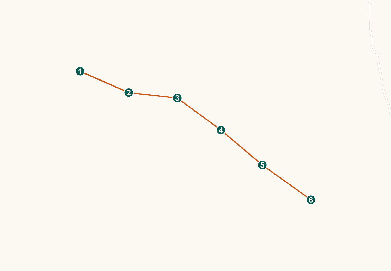
Live Amap view — drag to pan, scroll or pinch to zoom. Tap a numbered pin for details.
By Car from Guangzhou
About 250–260 km via the Xuguang and Qinglian expressways, roughly 3–3.5 hours; large on-site parking, crowded on holidays.
By Car from Qingyuan
Around two hours via the Qinglian Expressway — the natural jump-off if you are staying in Qingyuan city or arriving by high-speed rail.
By Rail + Coach
High-speed rail from Guangzhou to Qingyuan Station in 30–40 minutes, then a coach to Lianzhou (2–2.5 h), then a Dongbei-bound local bus or a taxi of about 40 minutes — workable but slow.
By Direct Coach
Buses run from Guangzhou to Lianzhou city in several hours, with the same local transfer at the end.
By Organized Tour
Lianzhou weekend tours bundle the cave with Huangchuan Three Gorges and Millennium Yao Village — the easy no-car answer.
Getting Around
Everything is on foot once through the gate: a roughly ten-minute uphill forest walk to the cave mouth, the one-way in-cave circuit, then a shuttle or short walk back to parking — with an optional paid escalator easing the exit slope (travelers report around ¥20).
Also in Amap (Chinese app) · map tiles and data © Amap
Comments