 CHINA 5A TRAVEL

Mount Wutai lies in Wutai County, Xinzhou, in northeast Shanxi, with the temple town of Taihuai at its heart.
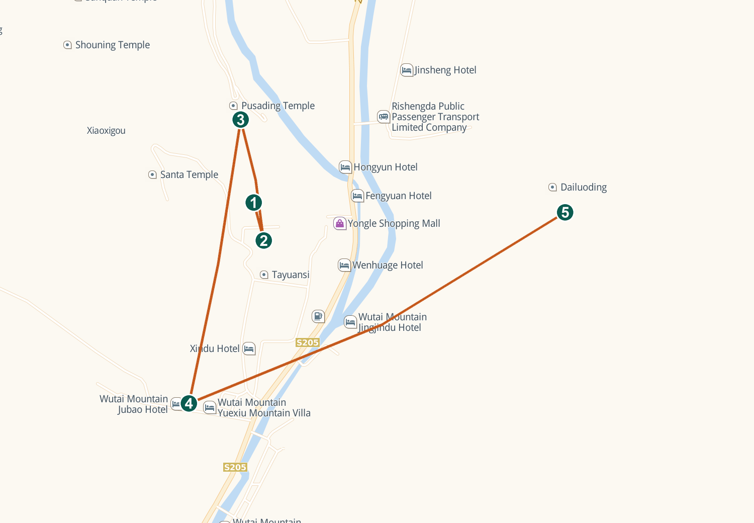
Interactive Map
Live Amap view — drag to pan, scroll or pinch to zoom. Tap a numbered pin for details.
By Train
Trains stop at Wutaishan station (Shazhen, 54 km away); onward buses and taxis run to Taihuai town in about an hour.
By High-Speed Rail
No bullet train reaches the mountain yet — high-speed riders change at Taiyuan South for the road transfer. From 2027 the 350 km/h Xiong'an–Xinzhou line will call at a new Wutaishan station about 10 km from the visitor centre.
By Bus
Direct coaches from Taiyuan's East bus station reach Taihuai in about four hours.
By Car
About 3.5 hours from Taiyuan or 4.5 from Beijing; private cars may enter the Taihuai valley with a vehicle reservation booked on the visitor-service WeChat account.
By Air
Xinzhou's Wutaishan airport, about 125 km away, serves a handful of cities and runs a shuttle to the scenic area; most travellers fly into Taiyuan Wusu and continue by coach or car in about three hours.
Getting Around
The valley shuttle (compulsory with entry) loops the main temples and town; Dailuo summit offers steps or chairlift; the five-peak circuit uses summit shuttles from Taihuai.
Also in Amap (Chinese app) · map tiles and data © Amap
Comments